A Radline of a Redline
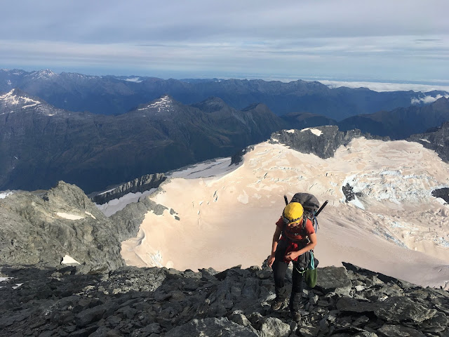
With the beginning of our traverse coming up rapidly, we're excited to have completed a route plan for the entire traverse. We have divided the route into several sections which we have been working on since April this year. The red line here is our optimal route for the traverse. However, we have also planned several wet weather options for when conditions are not ideal. The planning process also included putting together a 20 page document filled with route descriptions, photos and detailed beta for reference.
Use the map below to have a look at our route!
View Larger Topographic Map

following!
ReplyDelete